

AVOIDING THE HOTTEST “HOT SPOTS”
By Tom Hoffmann
You’ve completed a challenging flight, maybe one that involves some bad weather. The approach was a success. The landing was among your best. But those visions of a perfect flight went up in smoke when you blundered into a runway “hot spot,” which is what the FAA calls areas that carry an increased risk of runway incursions. Hot spots may include the intersection of two runways, the intersection of a runway and a taxiway, or parallel runways/taxiways that could lead to a wrong surface event.
Exploring Real “Hot Spots”
A good example of an airport that presents multiple challenges for surface operations is Flying Cloud Airport (KFCM) in Minneapolis. FCM has six identified hot spots where pilots can get disoriented at night or with low visibility. Two of these caution pilots about the potential for confusing the closely positioned Runways 28L/28R and 10L/10R on approach. The other four indicate areas on the ramp and taxiways that are in precariously close proximity to Runway 28R/10L.
Runway safety risks aren’t limited to large-scale, multi-runway airports. They also exist at smaller, single-runway landing fields. At Houston’s Sugar Land Regional Airport (KSGR) for example, you’ll find a hot spot at the intersection of Taxiway E and Taxiways A and A3 where the short distance from Runway 17/35 increases the likelihood of conflict between aircraft.
Bottom line: always review the airport chart and hot spot information before taxiing for departure and before landing. Both of these resources can be found here: bit.ly/RunwaySafetyDiagrams.
Don’t Get Burned
Here are some self-briefing questions that will help you avoid being scalded by contact with a runway hot spot:
- What taxiways will I be using?
- Will I be crossing any runways?
- Are there any tricky intersections I should know about?
- Are there any known areas of confusion I should know about?
- Could weather or low lighting be a factor in maintaining awareness of my location?
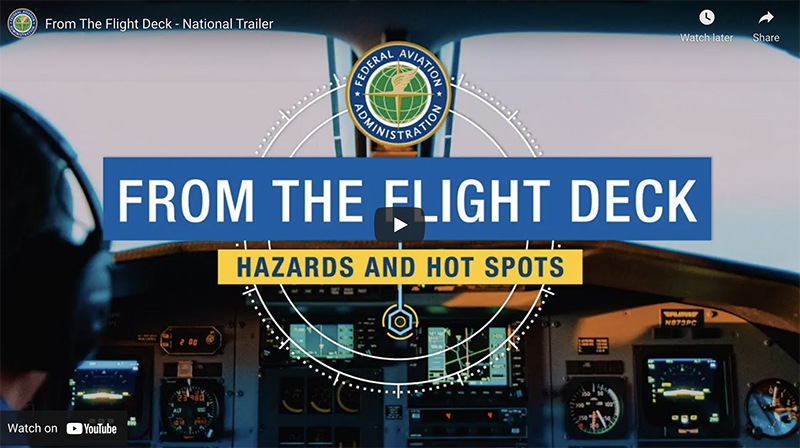
To answer these questions, use all available tools to plan your taxi route. These include Automated Terminal Information Service (ATIS), Notices to Airmen (NOTAM), and the FAA’s From the Flight Deck video series (faa.gov/go/FromTheFlightDeck) which provides helpful flight deck views of hot spot areas at more than 50 airport locations.
It’s a good idea to be on the lookout for airport construction notices too. Recent increases in federal assistance for airports mean increased likelihood of projects that could temporarily close taxiways, runways, or parking areas and cause you to alter your normal routing.
You can see the list of airport construction notices here: bit.ly/ArptConstNotice. Most electronic flight bag apps offer these notices in a list or integrate them into a moving-map display. The FAA also has a short demo video outlining steps needed to view construction notice diagrams for a given airport (youtu.be/a91Q-XKA-tA).
If you become disoriented or unsure of your position while taxiing, make sure you are clear of any runway and stop. Advise ATC and, if necessary, request progressive taxi instructions. Don’t be afraid to ask for help, and don’t be afraid of saying “unable” when you are not ready or able to accept an ATC clearance. A recently added animation on the FAA’s Runway Safety Simulator (runwaysafetysimulator.com) showcases a scenario where saying “unable” could have prevented a wrong-direction departure.
Remember that every airport is unique and presents its own set of runway safety challenges. So stay alert and stay alive!
Tom Hoffmann is the managing editor of FAA Safety Briefing magazine. He is a commercial pilot and holds an Airframe and Powerplant mechanic certificate.
Reprinted with permission from FAA Safety Briefing. Visit the Flight Safety Briefing website: https://www.faa.gov/news/safety_briefing/ .